


Coleraine Potted History
The Mesolithic site at Mountsandel dates from approximately 5935 BC and is some of the earliest evidence of human settlement in all of Ireland. The town was named by Saint Patrick after being offered a piece of fern covered ground to build a church. Here is a potted history of Coleraine.
Jump down to:
Coleraine Potted History Map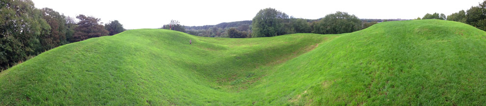
Much has happened in Coleraine... for a very, very long time!
8000BC
The ice melted, the sea levels rose dramatically and Ireland had separated from Britain.
7900-7600BC
Ealiest evidence of settlement in Ireland and Mesolithic man is found in Mountsandel. Radiocarbon dates show the site was occupied until 6500 BC More on this: http://www.mountsandel.com/teachers/peter_woodman_interview.asp
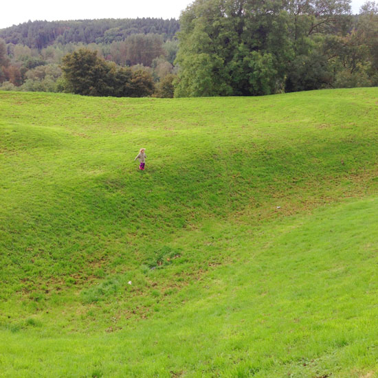
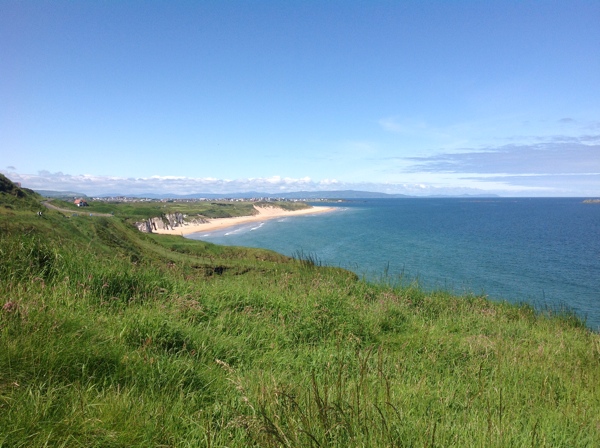
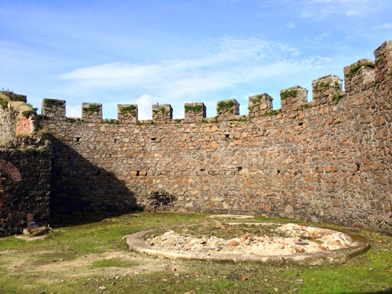
Mountsandel Fort
4000 to 2500 BC
There is much evidence of The Neolithic or New Stone Age settlement such as tombs of various types around the Causeway Coast. Neolithic finds at Mountsandel include pottery, flints, *spindle whorl and glass beads. The Mesolithic life of the hunter-gatherer declined and the farming Neolithic people changed the way of life in Ireland.
*Spindle whorl: A disk-shaped object with a hole in the centre, used in the ancient art of making cloth. The presence of a spindle whorl on an archaeological site is an indication of the technological advance of textile production called spinning.
 450 A.D
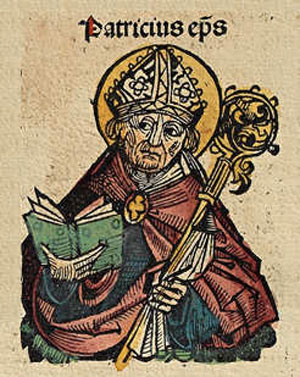
Coleraine is reputed to have received its name Cuil Rathain by St Patrick.
725 AD
Norwegian Vikings raided Coleraine and burned down St Patrick’s church.
830 A.D
The native chieftains had to defend their territory from foreign invasions.
1002 A.D
Battles with Norsemen attempting to raid the town.
1101
Coleraine was razed to the ground by the O'Briens of Munster.
1177
Coleraine was razed to the ground again this time by the Normans under John de Courcy.
1213
Thomas de Galloway dismantled the Abbey of St Carbreus and erected Coleraine Castle on the same ground.
 Late 1500's
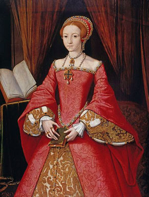
Henry VIII & Queen Elizabeth's forces endeavour to conquer Ireland and suppress the Irish Clans.
1586
O’Cahan’s country became County Coleraine.
1602
O'Cahan sides with the English and one year later the 300 year reign of Gaelic supremacy ended.
1607
The Irish chieftans planned another revolution which was curbed by a land dispute with O'Cahan and the minor chiefs fled to Europe, this was known as the "Flight of the Earls'. Their lands were seized by the English Crown.
1610
The first settlers arrived to rebuild Coleraine and fortify it what is known as the 'Plantation of Ulster'. They took control of Coleraine castle, the Bann Bridge and Coleraine town.
1611
Sir John Perrott drew up the town plans for Coleraine as a fortified Garrison town.
 1613
1613
The new town received its first constitution. County Coleraine becomes County Londonderry.
1642
Irish rebellion against the settlers and the Crown.
1689
James II forced the inhabitants of Coleraine to flee to Derry.
Early 1700's
Hardship and misfortune saw many dwellers leave the town.
 1785
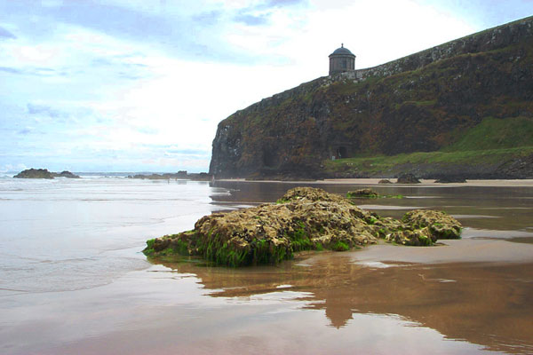
1785
Downhill (Down Hill) Demense and Mussenden Temple were built west of Castlerock by Frederick Augustus Hervey the 4th Earl of Bristol and Bishop of Derry.
1832
Outbreak of disease caused much loss of life.
1844
Stone bridge built across the River Bann.
 1851
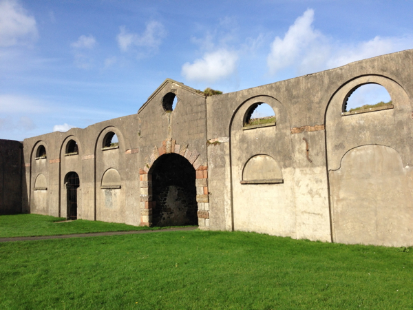
1851
The Earl Bishop's beautiful Downhill Demense was destroyed by fire.
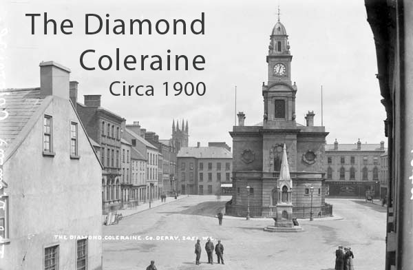
1859
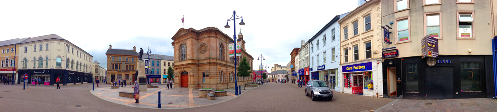
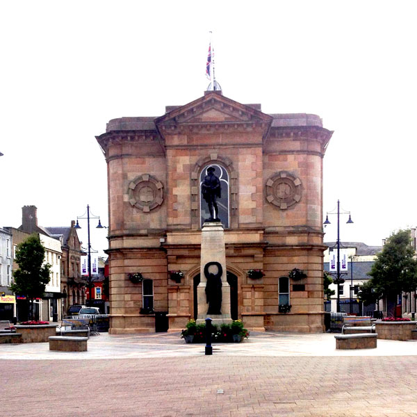
Designed by Thomas Turner, the Town Hall was built by McLaughlin & Harvey.
1853
New railway line built between Coleraine and Londonderry.
 1916
1916
The First World War claimed the lives of many of the inhabitants of Coleraine.
1927
Coleraine Football Club was formed.
1939 - 1945
Coleraine Battery men fought and died in WWII.
Early 1900's
The population of Coleraine doubled due to major industrial development
1968
The Coleraine Campus of the New University of Ulster is established.
1980's - Present day
Steady growth of Coleraine to 25,000 people in modern, thriving town.
More on Coleraine
Coleraine
Map to Coleraine Potted History:
Tap the markers for information or pinch and zoom to pan around the map.
If you ARE IN NORTHERN IRELAND you can use these links to open this location in Google Maps or Apple Maps Apps!
Top Locations to visit on the Causeway Coast of Northern Ireland:
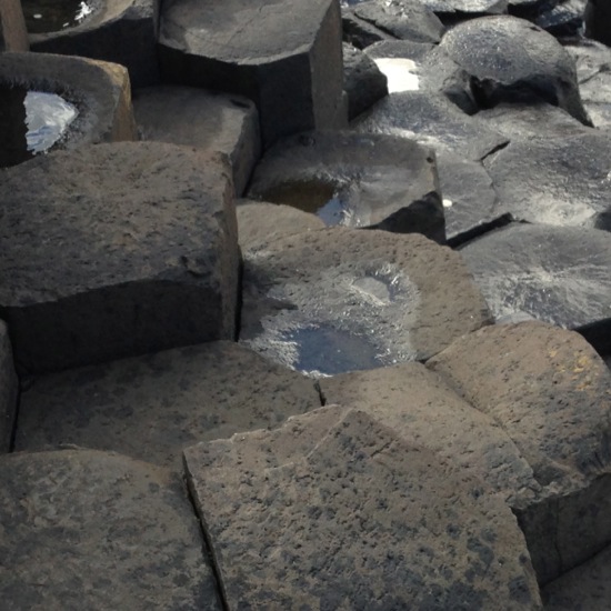
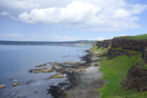
The Giants Causeway
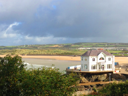
Coleraine
Ballycastle Strand
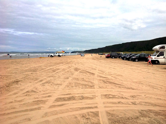
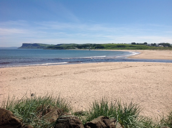
Benone Strand
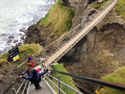
Carrick a Rede
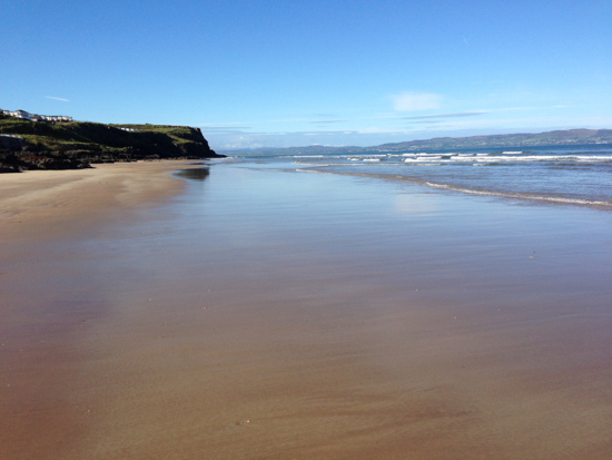
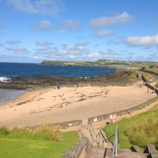
Castlerock Beach
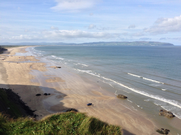
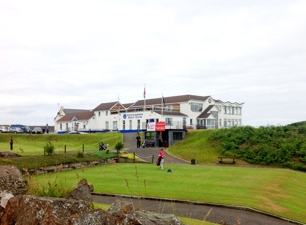
Downhill Beach
Downhill Demesne and Hezlett House
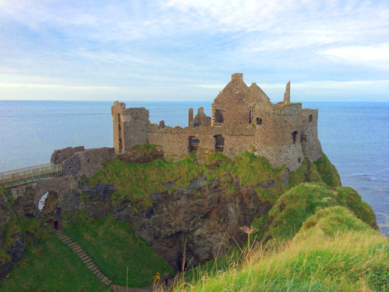
Dunluce Castle
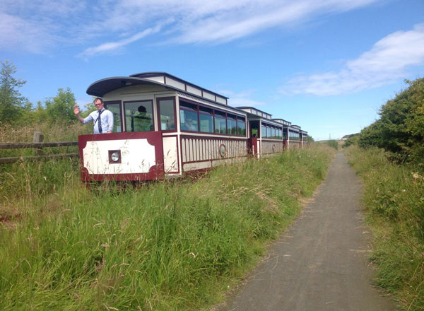
Giants Causeway and Bushmills Railway
Mountsandel Fort
Mussenden Temple
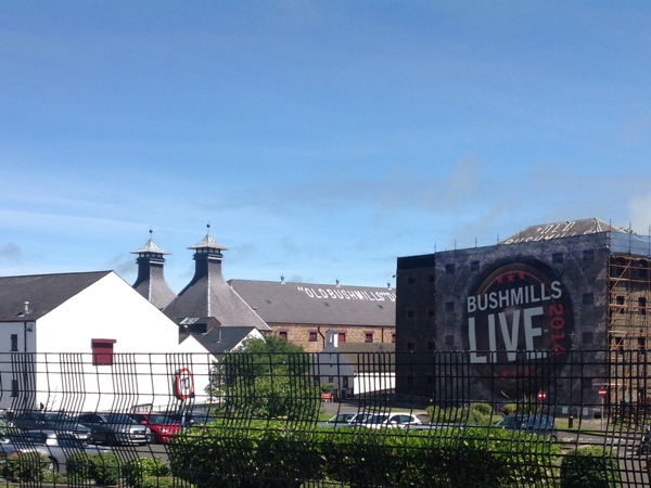
Old Bushmills Distillery
Portrush East Strand
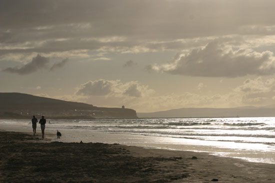
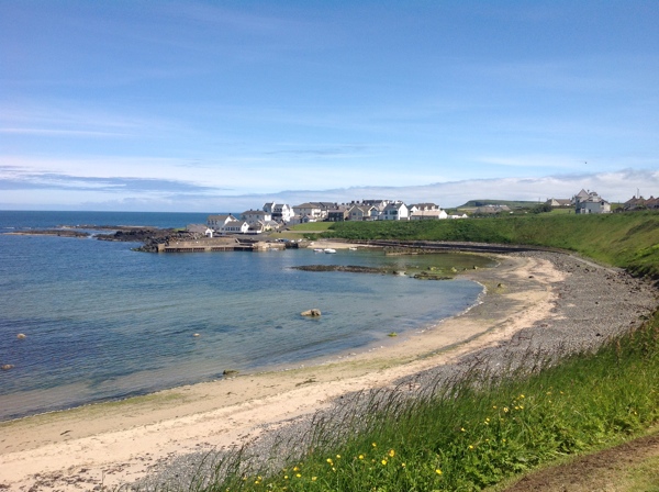
Portstewart Strand
Rathlin Island